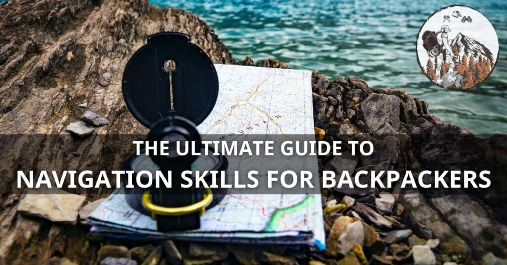
Mastering Navigation Skills for Backpackers is both an art and a science, essential for anyone looking to explore nature beyond the beaten path. Knowing how to navigate is more than a traditional skill—it’s your lifeline in the wilderness. As rewarding as backpacking can be, it can quickly turn dangerous without proper navigation abilities.
In this comprehensive guide, we’ll delve into essential navigation skills, from traditional map and compass use to leveraging modern GPS technology. Suitable for all skill levels, this post is your compass to becoming a proficient navigator, ensuring you can embrace the adventure while staying safe.
Importance of Navigation Skills
Imagine trekking through a dense forest or scaling a remote peak with the assurance that you can find your way. This confidence stems from having solid navigation skills. Not only are these skills crucial for safety, but they also enrich your backpacking experience, giving you the freedom to venture further and discover the undisturbed beauty of the wilderness.
Table of Contents
Fundamentals of Map Reading
Choosing the Right Maps
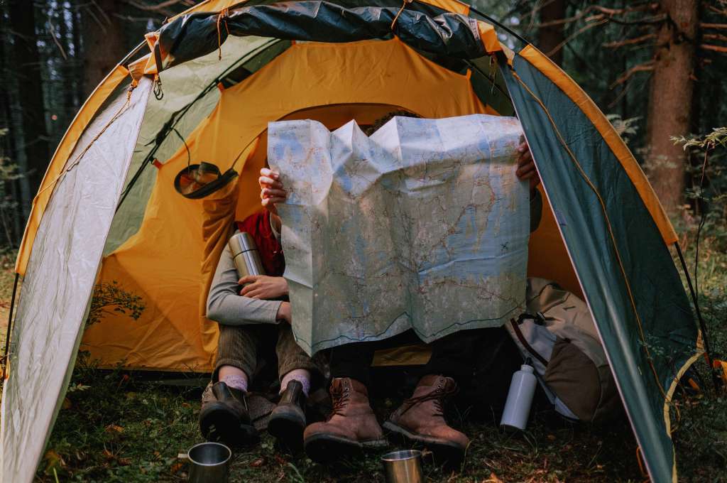
Topographic maps are the gold standard for backpackers. They offer detailed landscape features and elevations, key for planning your route. Ensure it’s up-to-date and covers the area extensively.
Understanding Topography
Contour lines form the core of topographic maps, showing you elevation changes and terrain shape. Practice reading contour intervals, noting where lines are close (steep terrain) and far apart (gentle slopes).
Map Symbols Decoded
Familiarize yourself with the map symbols and legend. Each icon, color, or line is a clue to the environment around you—from water sources to man-made structures.
Compass Mastery
Types of Compasses
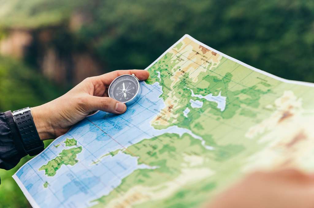
Your compass is as crucial as the map. Whether a simple orienteering compass or a more advanced sighting compass, understand its parts: the base plate, needle, bezel, and orienting arrow.
Orienting the Compass
With your map on a flat surface, align your compass so that its orienting lines match the map’s meridians. This ‘orients’ the map, syncing the compass with the geographic north.
Taking Bearings with Precision
Identify a landmark on your map, then on the landscape. Rotate the bezel so the orienting lines match the north on your map, point the compass at the landmark, and note the bearing—this is your direction of travel.
GPS Technology for Backpackers
Choosing the Right GPS Device
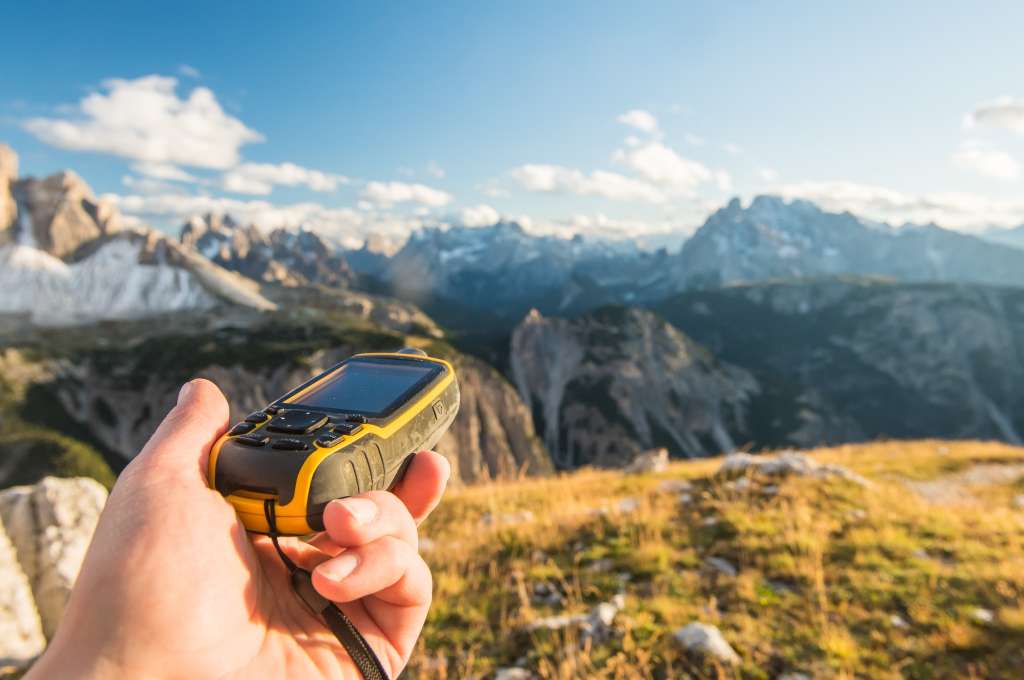
In a tech-heavy world, GPS units enhance your navigation toolkit. Choose a rugged, waterproof device with a long battery life and a clear display. Smartphones with GPS apps can serve as backups but are less reliable.
Navigating with GPS
GPS devices show your real-time position and can plot routes, waypoints, and tracks. Understand how to enter and follow a waypoint, and always carry spare batteries or a power bank.
Backup Navigation Techniques
Never rely solely on technology. Batteries fail, and electronics can malfunction. Always carry a map and compass as a backup, and know how to use them.
Trail Signs and Markers
Recognizing Trail Blazes
Trail blazes—markings on trees or rocks—guide you along paths. Learn the various colors and patterns, which can indicate turns, ends, or overlaps of trails.
Interpreting Signage
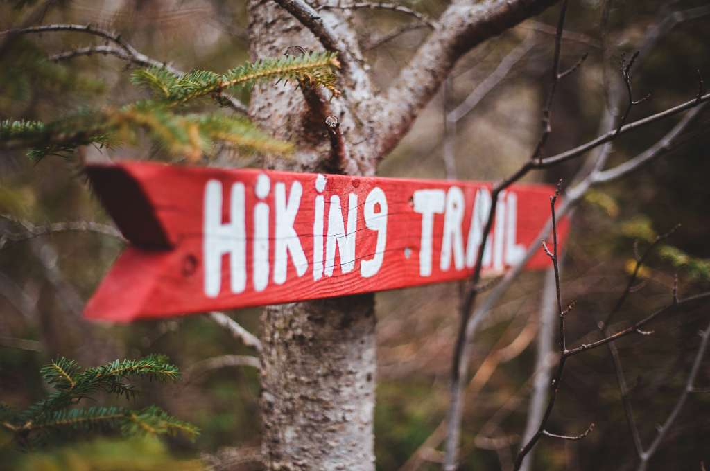
Trail signs offer navigation cues. Not all wilderness areas have them, but where they exist, read them carefully, understanding distances, directions, and warnings.
Following Cairns
Cairns, piles of stacked stones, often mark trails in rocky or barren landscapes. Keep cairns within sight but remain cautious; not all are trustworthy.
Natural Navigation Techniques
Using Sun and Stars for Direction
The sun rises in the east and sets in the west—use this to gauge general direction. At night, locate the North Star (Polaris) in the Northern Hemisphere for the north.
Reading the Landscape for Cues
Understand how water flows (usually downhill and converging), how vegetation changes with sunlight and moisture, and how wildlife paths often lead to water or clearings.
Observing Animal Behavior
Animals instinctively navigate the terrain. Birds flying in a consistent direction toward evening often head toward water, while game trails can lead to human paths or clearings.
Essential Navigation Tools
Altimeters and Their Role
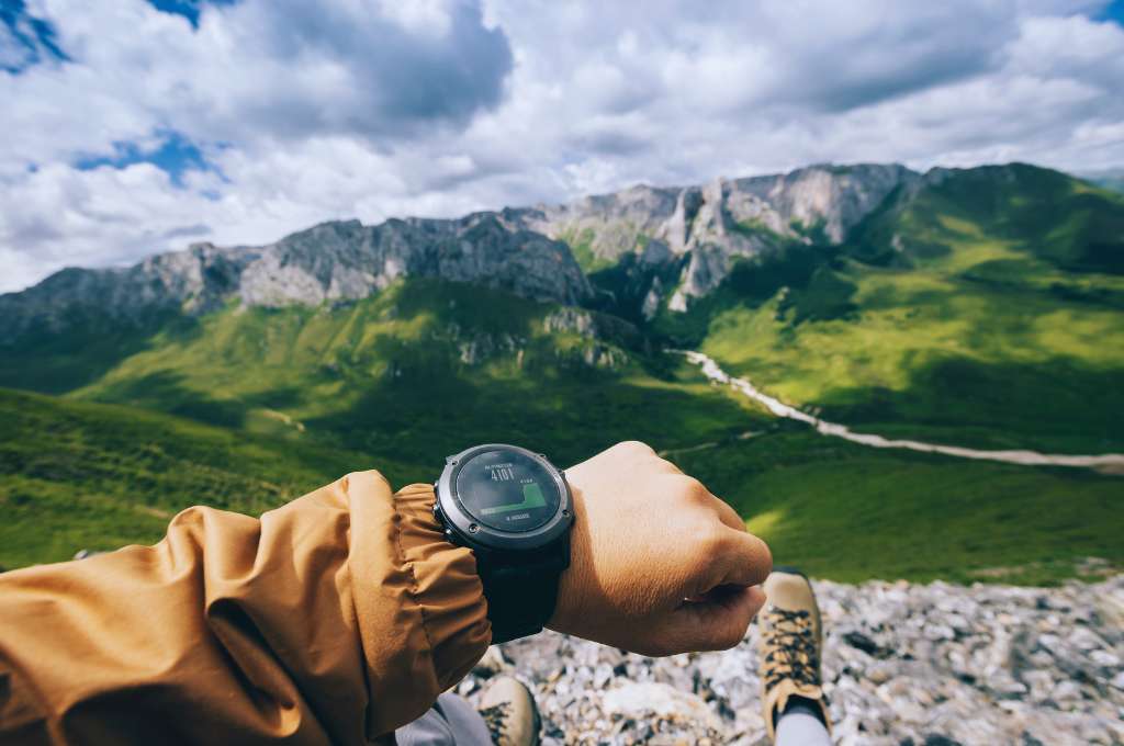
Altimeters measure elevation based on atmospheric pressure, invaluable for pinpointing your location on a map. Match your altimeter’s reading to contour lines for accuracy. In today’s era, sports watches are available with the built-in altimeter feature.
Pacing and Estimating Distances
Learn to estimate distances by counting steps. A pacing bead system or knowing your average step length in different terrains can serve as a useful gauge.
Utilizing Binoculars for Terrain Assessment
Binoculars help clarify distant landmarks or terrain features that may not be evident at ground level, aiding in decision-making and pathfinding.
Weather and Navigation
Understanding Weather Patterns
Weather influences natural landmarks and can obfuscate trails. Learn to read clouds, wind patterns, and changes in barometric pressure for clues on impending conditions.
Navigating in Challenging Conditions
In poor visibility or adverse weather, slow down. Rely on your compass and dead reckoning, increasing vigilance with map checks and environmental markers.
Safety Precautions in Extreme Weather
Always carry weather-appropriate gear. In extreme conditions, sometimes the best navigation decision is to stay put and seek shelter.
Night Navigation
Navigating in the Dark Safely
Night amplifies challenges. Travel only if necessary, relying on well-defined landmarks and consistent use of lighting for safety.
Utilizing Headlamps and Night Vision
Invest in a quality headlamp with red light settings to preserve night vision. Adjust travel speed to the reach of your light.
Star Navigation Techniques
Astronomy can be a helpful night navigation aid. Learn a few key constellations and their relation to the celestial poles for general directional guidance.
Advanced Orienteering Skills
Triangulation Techniques
Using multiple bearings from known locations can pinpoint your position with triangulation—map these points where the lines intersect to find where you are.
Dead Reckoning for Precision
Dead reckoning involves calculating your current position based on a known point, distance traveled, speed, and direction. It’s a dynamic calculation requiring constant updating.
Creating and Following Waypoints
Marking waypoints on a GPS or a map helps create a traceable path for your journey and aids when retracing steps or sharing your route.
Navigation Challenges and Solutions
Crossing Rivers and Streams
Identify crossings on your map ahead of time, looking for narrower places with slower flow. Always unbuckle your pack before crossing for safety should you fall in.
Navigating Dense Forests
In forests, use a compass bearing, as GPS signals may be unreliable. Note distinctive trees or formations as micro-landmarks to maintain your direction.
Dealing with Low Visibility Conditions
Fog and mist demand heightened attention to compass work and immediate surroundings. Slow your pace, stop more frequently to check your position, and listen for water or other distinct sounds.
Solo Backpacking Navigation
Strategies for Solo Hikers
When alone, double down on preparation. Know your routes, communicate plans to someone else, and carry an emergency locator beacon.
Emergency Protocols
Understand basic survival skills, first aid, and when to activate a rescue signal. Always have an emergency plan in place.
Staying Oriented in Isolation
Maintaining a clear head is essential. Regularly check your map and surroundings to confirm you’re on track, and stay mentally engaged with navigation tasks.
Navigation Etiquette
Respecting Leave No Trace Principles
Stay on marked trails, avoid creating new paths or disturbing wildlife, and carry out all trash—including biodegradable items.
Sharing Trails Responsibly
Yield to uphill travelers, step aside for larger groups, and communicate intentions overtly when passing or merging with other trail users.
Communicating with Fellow Backpackers
Exchange trail information with others—water statuses, campsite availability, or trail conditions. This communal knowledge can be lifesaving.
Mental Navigation Preparedness
Developing Spatial Awareness
Hone your sense of space and relation by studying maps and visualizing routes ahead of time. Engage in exercises that challenge your spatial reasoning.
Decision-Making Under Pressure
Practice making navigation choices under stress through simulations or real-life scenarios. Calm, informed decisions are needed when conditions change unexpectedly.
Mindfulness and Navigation
Stay present. Overthinking can cloud judgment. Practice mindfulness to keep a clear head, allowing you to better read the environment and make sound navigational choices.
Fitness and Navigation
Physical Preparedness for Navigation
A strong body supports sharp thinking. Engage in cardiovascular, strength, and flexibility training to ensure you’re physically fit for the demands of backpacking.
Nutrition for Sustained Energy
Proper fueling ensures mental acuity. Carry nutrient-dense foods and ample water to maintain energy levels and cognitive function.
Avoiding Navigation Fatigue
Break up long navigation intervals with short rests. Assess your map, hydrate, and snack periodically to prevent decision fatigue.
Conclusion
Navigation is a critical skill for any backpacking adventure. With the right tools, knowledge, and preparation, you can confidently navigate through any terrain and enjoy a safe and rewarding journey. Remember to always prioritize safety and leave no trace principles while exploring the great outdoors.
Keep learning, practicing, and refining your navigation skills to continue growing as a backpacker. So keep honing your skills and stay safe out there!
Thank you for reading, we will keep providing you with valuable guides and tips for your outdoor pursuits.
Happy trails to you!
FAQS
Q. What is the most critical navigation skill?
The ability to read and interpret a map is the most critical navigation skill. It allows you to plan your route, identify landmarks and potential hazards, and stay on track during your journey. Other important skills include using a compass, estimating time and distance, and orienteering.
Q. What should I do if I get lost while backpacking?
Stay calm and do not panic. Take out your map and compass, try to reorient yourself using known landmarks or terrain features, and backtrack if necessary. If you are unable to find your way, stay put, make yourself visible, and consider using a rescue signal device.
Q. Is GPS enough for navigation on backpacking trips?
While GPS devices can be useful, they should not be relied upon as the sole means of navigation. Batteries can die, signals can be lost, and technology can fail. Always carry a paper map and compass as backup and know how to use them effectively.
Q. How do I prepare for navigation on challenging terrain?
Prepare by studying maps, practicing with your compass and map reading skills, and familiarizing yourself with the terrain. It’s also important to stay physically fit and carry proper gear for the conditions you will be encountering.
Q. Can I learn navigation on my own?
Yes, you can learn navigation on your own through online resources and books. However, seeking guidance from experienced backpackers or taking a course can greatly accelerate your learning and provide valuable insights and tips. Remember to also practice and hone your skills in real-world situations to gain hands-on experience.
Q. How do I choose the right map for my trip?
When choosing a map for your trip, consider the scale, contour intervals, and topographic features. Choose a map that shows enough detail for your planned route and has identifiable landmarks to assist with navigation.
